

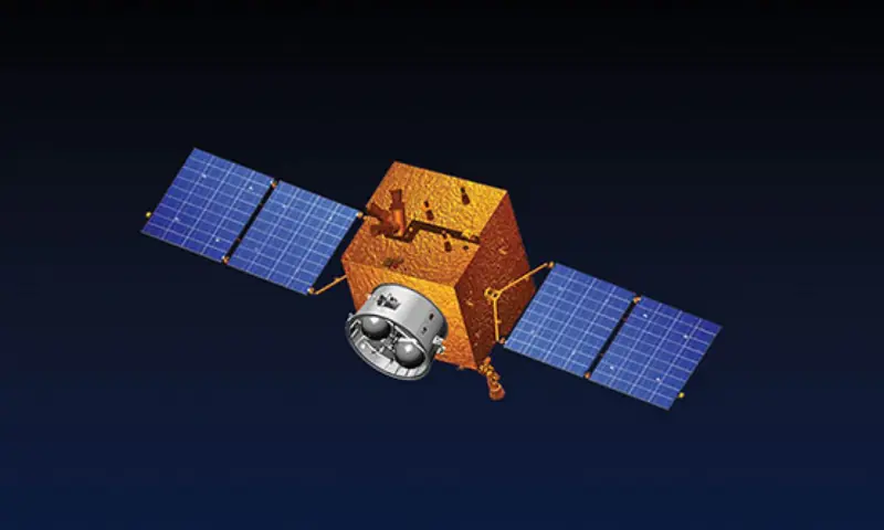
Pakistan’s space agency on Wednesday announced the upcoming launch of the country’s first hyperspectral satellite (HS-1) from the Jiuquan Satellite Launch Centre in China, scheduled for October 19.
Hyperspectral imaging is a type of advanced camera technology used in satellites to study the Earth and space, according to a study published in the Journal of Computational Intelligence and Neuroscience. Unlike regular satellite cameras that capture only a few colours (like red, green, and blue), hyperspectral cameras capture hundreds of very narrow colour bands. This means they can detect tiny differences in light that the human eye, or even normal satellites, can’t see.
Because of this, scientists can use hyperspectral images to identify materials, detect changes in vegetation, find minerals, monitor pollution, or even study the atmosphere in much greater detail than before.
According to a statement from the Space and Upper Atmosphere Research Commission (Suparco), the launch is a “landmark mission [which] represents a transformative milestone in Pakistan’s national space programme, propelling the country into a new era of advanced space-based applications in agriculture, disaster management, urban development, and environmental monitoring.”
It said that in the agriculture sector, HS-1 will enable precision farming through high-resolution hyperspectral data acquisition and calibration.
“The satellite will provide detailed insights into crop health, soil moisture, and irrigation patterns, enhancing yield estimation by 15 to 20 per cent and contributing significantly to food security,” it added.
The statement further said that the satellite’s “cutting-edge sensors” will help monitor environmental changes, map infrastructure, and assess urban growth patterns for urban development.
“By capturing unique spectral signatures of man-made structures, HS-1 will support sustainable city planning, land-use assessment, and efficient resource management,” said Suparco.
The space agency detailed that HS-1 will serve as a “vital tool” for early warning and rapid response in environmental monitoring and disaster management.
The satellite’s “advanced imaging capabilities” will aid in flood prediction, landslide tracking, and geo-hazard assessment, particularly across the Karakoram Highway and northern Pakistan, it said.
Moreover, per the statement, the satellite will also enhance post-disaster assessment, transportation network analysis, and water resource modelling, providing timely data on floods, earthquakes, deforestation, and land degradation.
The integration of HS-1 into Pakistan’s expanding remote sensing fleet, comprising PRSS-1 (launched in July 2018), EO-1 (launched in January 2025), and KS-1 (launched in July 2025), will “significantly strengthen the nation’s space-based infrastructure”, said Suparco.
“The mission aligns with the National Space Policy and Suparco’s Vision 2047, which aims to position Pakistan at the forefront of space technology and innovation for sustainable national development.”
Last month, a senior official from Suparco said the agency was integrating space-based applications into its disaster risk management framework, “paving a path anchored in science and international collaboration to better prepare for natural calamities”.
In July, the foreign ministry announced the successful launch of a remote sensing satellite from China, which aimed to “strengthen Pakistan’s agricultural monitoring and disaster management, among other capabilities”.